Can Argos Floats Enhance Underwater Topography Studies?
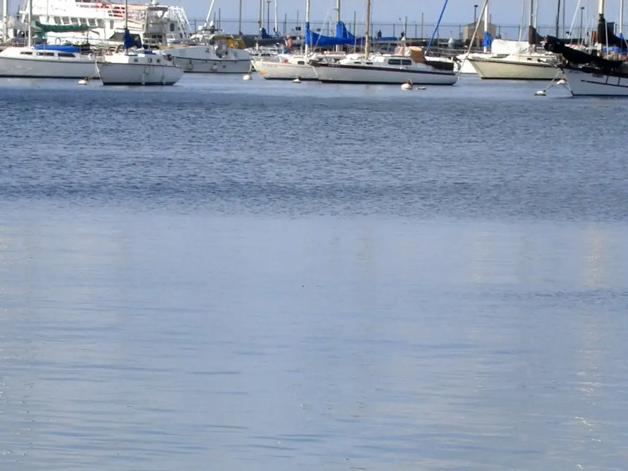
The Argo project, a global network of autonomous floats that collect vital ocean data, is making significant strides in improving global bathymetry. These floats, programmed to park on the seafloor during the drift phase, are providing detailed subsurface data that can indirectly enhance bathymetric mapping.
The Argo Bathymetry project, a collaborative effort, aims to validate grounded profiles from the Argo array and estimate the associated vertical and horizontal uncertainties. Initial results from a comparison of a subset of float profiles grounded on the continental shelf with high-resolution multibeam bathymetry show good agreement.
Using mean drift speeds between float profiles of 0.9 to 1.7cm.s, an initial estimate of horizontal uncertainties for these profiles results in a median horizontal error of 76m (IQR= 40-93m). However, using maximum drift speeds of 3.4 to 7.5cm.s increases the median horizontal error to 330m (IQR=310-662m).
The vertical uncertainty of the float data has a median value of 12.6 m with an interquartile range of -11.5 to 24.3m. Despite the small positive bias overall, indicating that the floats are generally measuring depths slightly shallower than the bathymetry, the vertical uncertainty remains relatively low.
However, determining whether an Argo profile has grounded is complex due to differences in float models and firmware. Some float models do not record grounding events in the data files, while others may incorrectly interpret buoyancy issues as grounding.
Work is now underway to estimate the vertical and horizontal errors for the wider grounded Argo dataset. The objective is to provide feedback to data centers so that this information can be correctly populated in the files and to compile a 'best practice' guide to identify groundings.
The global Argo array, as of March 2022, comprises 3967 operational floats, with a design goal of maintaining a global array of 4600 floats. These comprehensive, high-quality ocean interior observations are crucial for advancing sophisticated data assimilation and machine learning techniques that collectively improve the accuracy and resolution of global bathymetric maps, particularly in regions hard to survey directly by ship or sonar.
These advances in the Argo Bathymetry project mark a significant step forward in the use of autonomous floats for bathymetric mapping, contributing to a more accurate understanding of the world's oceans.
- The advancements in the Argo Bathymetry project, a collaborative effort focusing on ocean data, indicate a promising future for environmental-science, specifically climate-change research.
- As technology evolves, gadgets like smartphones may incorporate data from the Argo project to provide more accurate home-and-garden weather applications, fostering a culture of sustainable-living.
- With the growing importance of data-and-cloud-computing, integrating Argo's comprehensive, high-quality ocean data can help refine machine learning algorithms used in various industries.
- The environmental-science community eagerly awaits the creation of the 'best practice' guide for the Argo array, ensuring accurate information and contributing to improved technology in the field.
- The ongoing efforts to improve the Argo project showcase the potential of science and technology combined, offering valuable insights not only for bathymetric mapping but also for our broader understanding of our planet's environment.

